- The best hiking in Georgia is in the Greater Caucasus: Kazbegi and Svaneti for well-trodden trails with guesthouses, Tusheti and Khevsureti for remote valleys and high passes, and Racha for near-empty routes.
- High routes open from about early July to mid-September, when snow clears from passes of 2,700 to 3,400 m; forest parks such as Lagodekhi, Borjomi-Kharagauli and Mtirala can be walked from spring to late autumn.
- Popular hikes like Gergeti, Juta, Truso, Koruldi and Mestia to Ushguli suit independent walkers; the Chaukhi and Atsunta passes, Black Rock Lake and anything in June or October are better with a guide.
- Several routes near the Russian border need your passport and, on some, registration with the border police; national parks ask hikers to register at the visitor centre.
- Call 112 in any emergency, start early to beat afternoon storms, cross glacier rivers in the morning and let shepherds call off their dogs.
Georgia ranks among the finest hiking destinations on the edge of Europe and Asia, because the Greater Caucasus rises above 5,000 m only three hours' drive from Tbilisi and its valleys are still lived in. You walk between villages of stone towers, sleep in family guesthouses and eat what the household cooks. The core season is July to mid-September for the high passes, but spring and autumn are excellent in the lower forest parks and in the hills around the capital.
This hub brings together everything you need to choose and plan a walk: the nine main hiking areas from Kazbegi to Adjara, a table of top day walks and longer treks, a month-by-month season guide, a clear difficulty scale, permits and border zones, and the real risks on Georgian trails. It also explains when a guide is worth it and what our private treks supply, from pack horses to tents and camp kitchens.
Is Georgia good for hiking? What makes it different
Two mountain systems cross the country. The Greater Caucasus runs along the whole northern border with Russia and holds the big peaks: Shkhara (5,193 m), Kazbek (5,054 m) and Ushba (4,710 m), plus hundreds of glaciers. The Lesser Caucasus in the south is lower and greener, with ranges around 2,000 to 3,000 m covered in beech, fir and spruce. Between them lie hot lowlands where summer walking is uncomfortable but spring hikes are lovely.
What sets Georgia apart is how the walking is organised. On the classic routes you do not need a tent: villages sit a day's walk apart and most families take guests, so you carry a daypack and arrive to a hot dinner. Trails are often old shepherd and village paths rather than built footpaths, and waymarking ranges from good red-and-white paint to nothing at all. Many routes have no huts, shops or signal, which is part of the appeal and the main reason to plan properly.
Where to hike in Georgia: the Greater Caucasus regions
Five regions along the main ridge account for most serious hiking in the country. They differ more than you might expect, in access, in how busy they are and in how self-sufficient you need to be.
| Region | Base | From Tbilisi | Character | High season |
|---|---|---|---|---|
| Kazbegi (Khevi) | Stepantsminda, Juta | About 3 h by road | Busiest, easy access, big views of Kazbek | June to September |
| Svaneti | Mestia, Ushguli, Mazeri | 8 to 9 h by road, or fly or go via Kutaisi | Tower villages, glaciers, the best-known trek | July to mid-September |
| Tusheti | Omalo, Dartlo | 5.5 to 6 h, the last part by 4x4 over the Abano Pass | Remote, horse country, road open only in summer | July to early September |
| Khevsureti | Shatili, Roshka | About 4 to 5 h on a gravel road over the Datvisjvari Pass | Wild, few visitors, border zone | July to mid-September |
| Racha | Oni, Glola, Ghebi | About 4 to 5 h | Quiet, forested, camping on most high routes | June to September |
Kazbegi: the easiest high mountains to reach
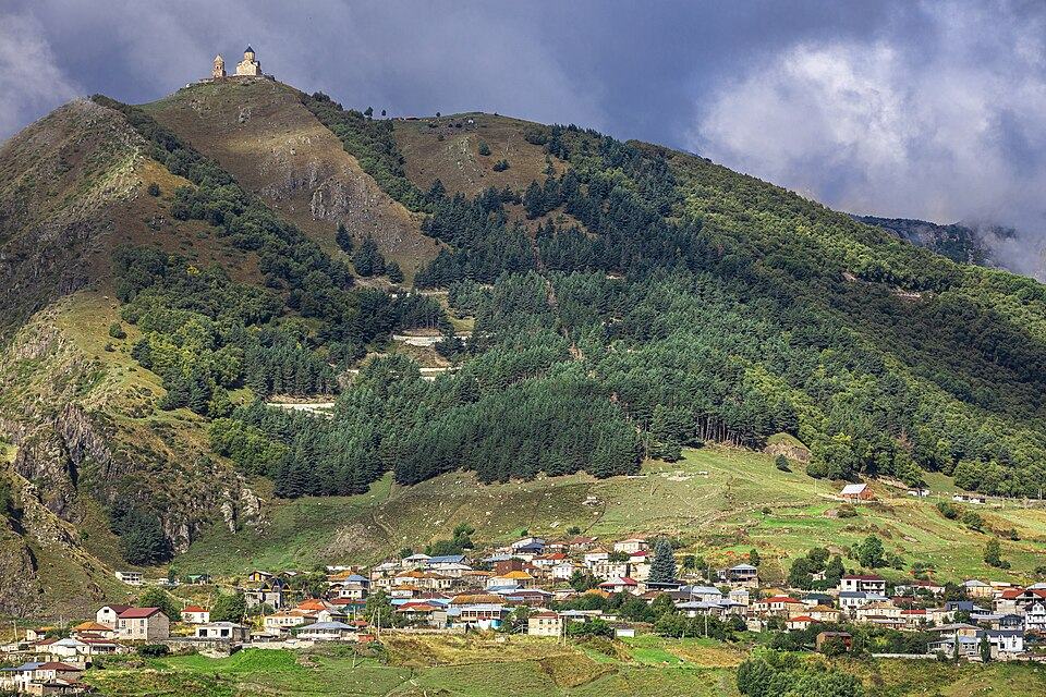
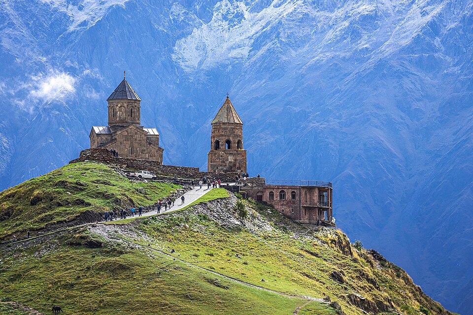
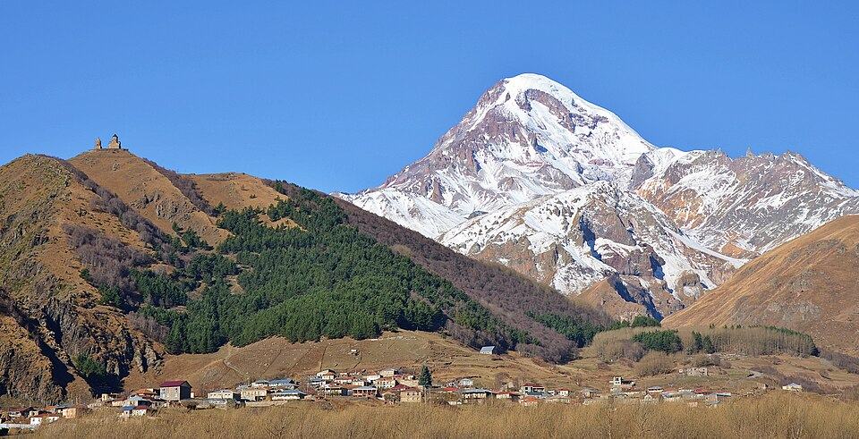
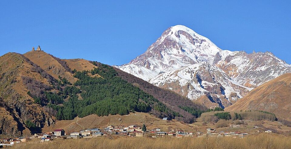
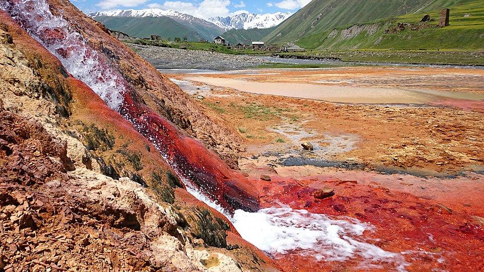
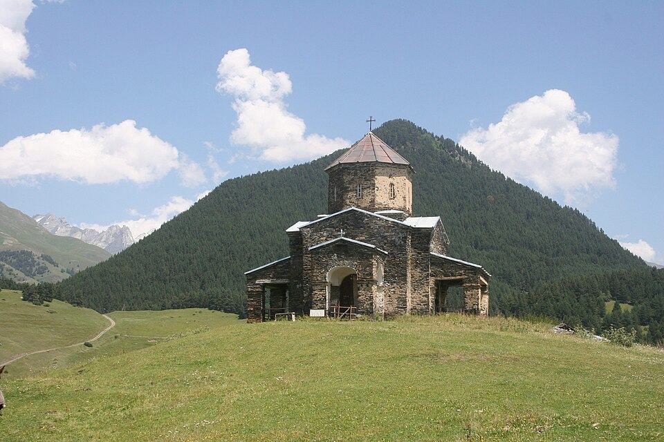
The Military Road from Tbilisi brings you to the foot of Kazbek in half a day, so Kazbegi is where most visitors take their first Caucasus walk. The classic is the short climb to Gergeti Trinity Church (2,170 m); fit walkers continue over the Sabertse Pass to a viewpoint above the Gergeti Glacier. From Juta, at about 2,200 m, an easy valley path runs to the foot of the Chaukhi towers, and the flat Truso valley follows the young Tergi past mineral springs to Zakagori fortress. Our Kazbegi travel guide covers each walk in detail, plus where to stay.
Svaneti: towers, glaciers and the classic trek
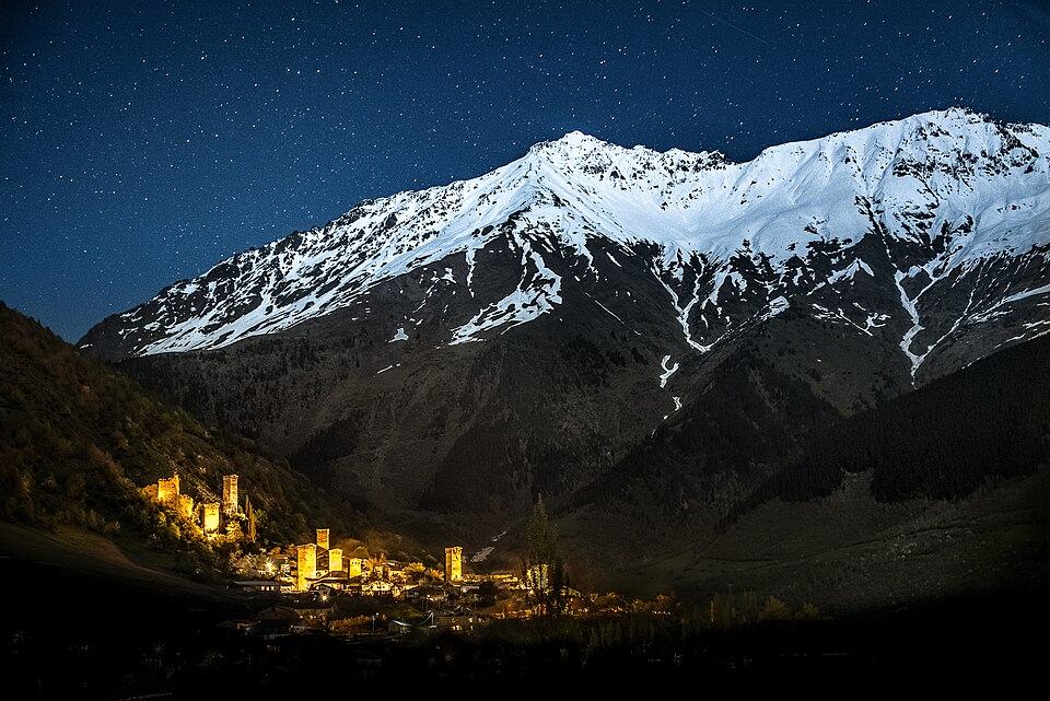
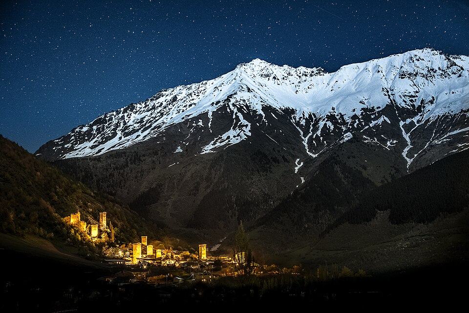
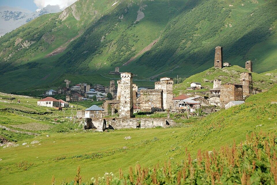
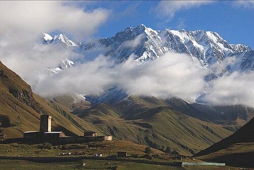
Upper Svaneti, in the north-west, is the most rewarding all-round hiking region. The four-day walk from Mestia to Ushguli is the country's signature trek; we cover it stage by stage in our Mestia to Ushguli trek guide. Around Mestia you have the long climb to the Koruldi Lakes (roughly 2,740 m), the short walk to the Chalaadi Glacier and, for strong walkers, the Guli Pass crossing to Mazeri under Ushba. From Ushguli, at around 2,100 to 2,200 m, an open valley walk leads to the Shkhara Glacier, the source of the Enguri.
Tusheti: horse country beyond the Abano Pass
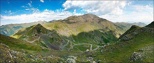
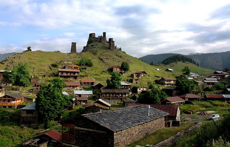
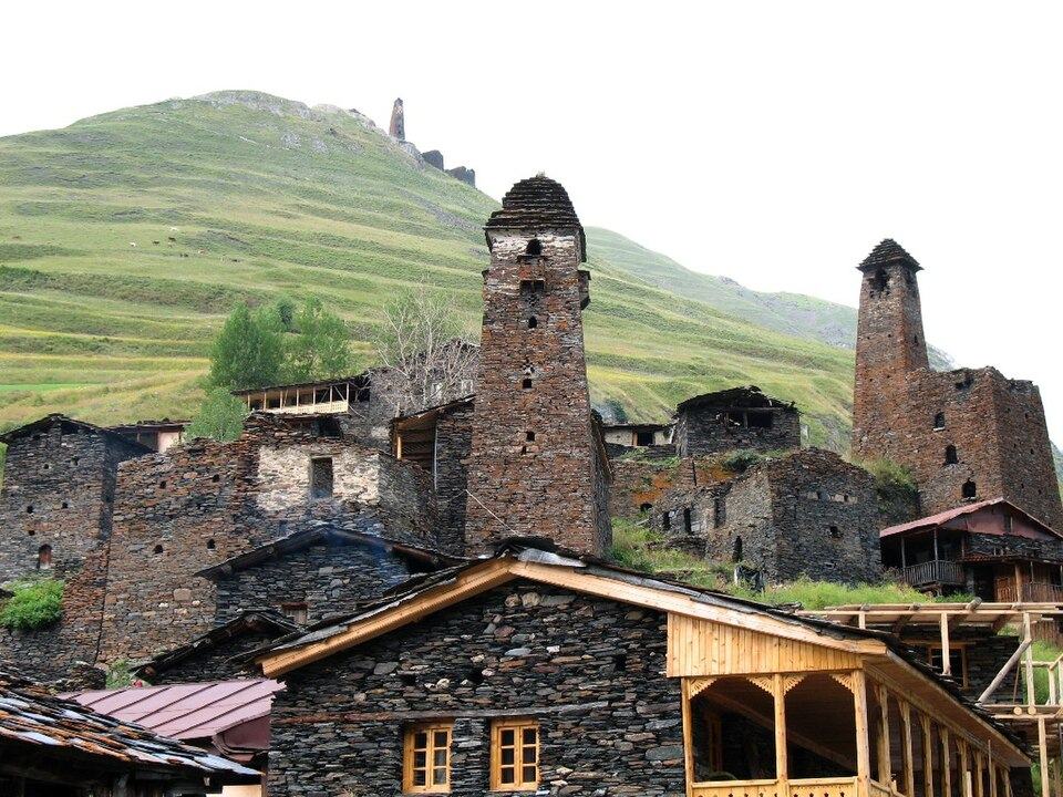
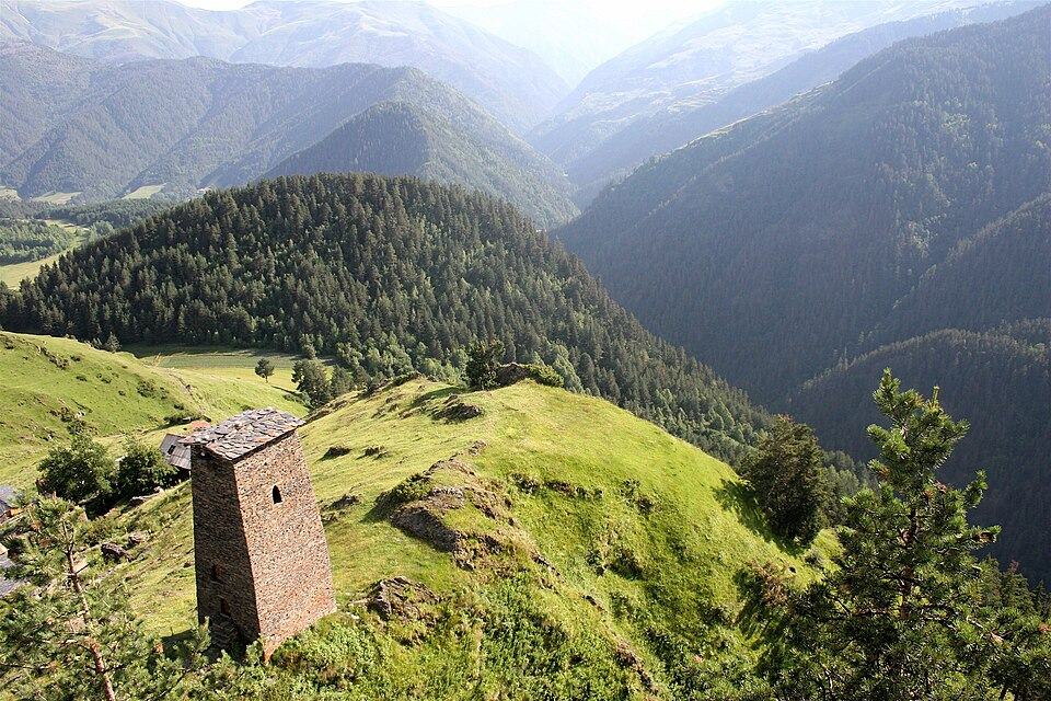
Tusheti sits on the northern side of the main ridge and is reached by one unpaved road. That road reaches about 2,850 m where it crosses the ridge, a pass called Abano, and it is normally passable only between June and early October. Omalo, at roughly 1,880 m, is the base for walks to Shenako and Diklo, to Dartlo and the Kvavlo towers, and up the Pirikiti Alazani valley to Parsma and Girevi. Horses are everywhere: Tush families still move flocks on horseback, and riding is as natural a way to travel here as walking. The great multi-day route is Omalo to Shatili over the Atsunta Pass, around 3,430 m, a camping trek of five to six days into Khevsureti.
Khevsureti: the wildest corner
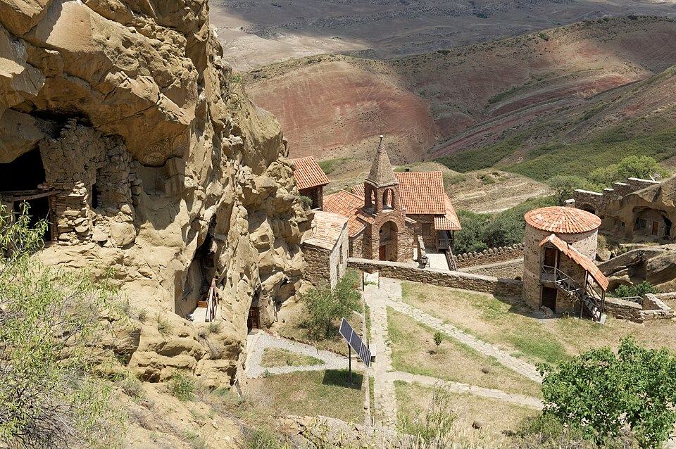
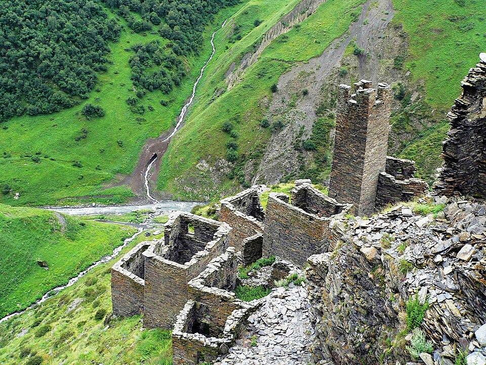
Khevsureti lies east of Kazbegi and is the least visited of the high regions. A gravel road crosses the Datvisjvari Pass, about 2,676 m, and drops to Shatili, a fortified village of some 60 linked towers at about 1,400 m near the Chechen border. From Shatili you walk to the Anatori crypts and climb to the clifftop towers of Mutso, about 12 km up the Andaki valley. On the western side, Roshka is the start for the Abudelauri Lakes and the Chaukhi Pass crossing to Juta, the most popular way to link Kazbegi and Khevsureti on foot.
Racha: quiet ridges and high lakes
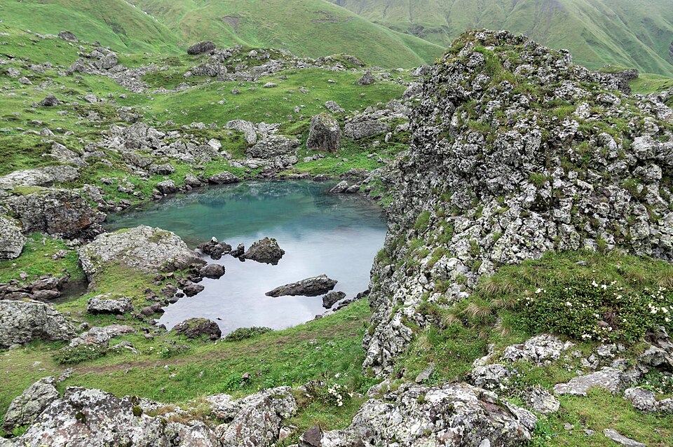
Racha, on the upper Rioni between Svaneti and Kazbegi, has dense forest, wine villages and almost no trekking traffic. The best-known hike climbs from Glola along an open ridge to Udziro Lake at about 2,800 m, roughly 24 km return over two days with a night in a tent. Other routes start from Ghebi and Chiora, the highest villages of the valley. The resort of Shovi was largely destroyed by the mudflow of 3 August 2023, so check locally before planning anything in the Buba valley. Oni is the most practical base.
Hiking in Lagodekhi, Borjomi, Adjara and near Tbilisi
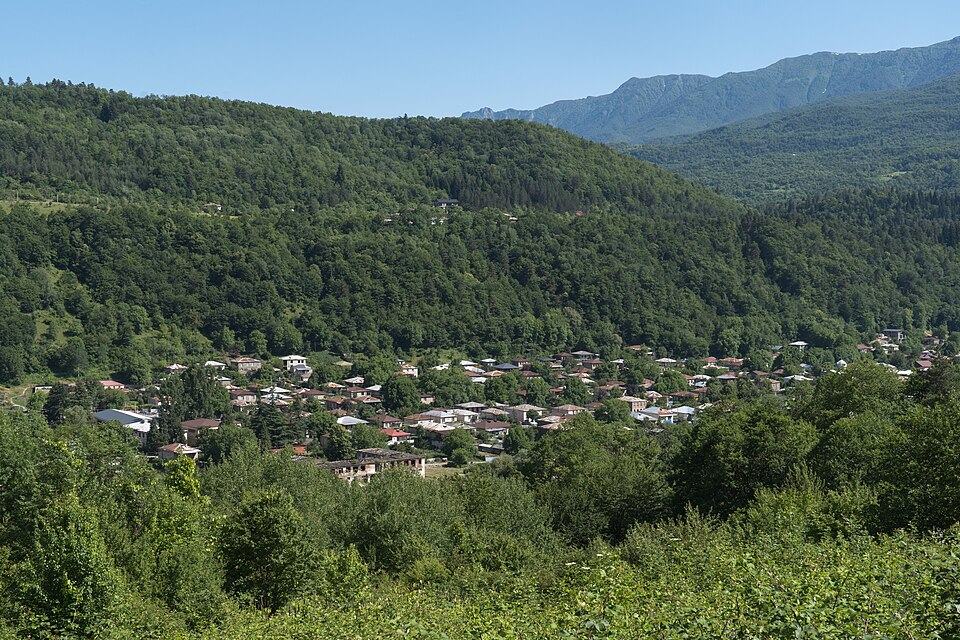
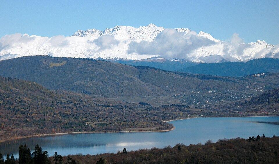
Away from the high Caucasus, Georgia's national parks and the hills around the capital give you a much longer season, marked trails and, in some cases, ranger shelters. They are where to walk in April, May and October, and good add-ons to a wine or city trip.
Lagodekhi: waterfalls and Black Rock Lake
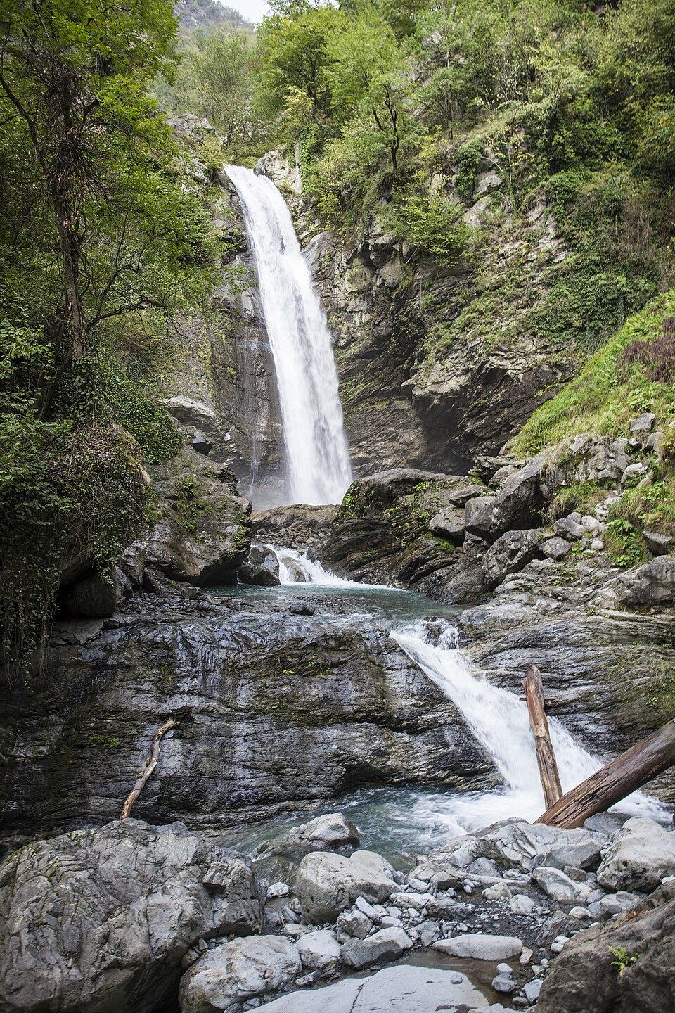
Lagodekhi, at the eastern tip of Kakheti about 170 km from Tbilisi, became Georgia's first nature reserve in 1912. Its forested slopes climb from about 590 m to 3,500 m. The popular day walk follows a river gorge to the Ninoskhevi Waterfall, about 40 m high, roughly 8.5 km and 4 to 6 hours return; the Black Grouse Waterfall and the forest ruin of Machi Fortress are alternatives. The park's flagship trek climbs to Black Rock Lake, at about 2,800 m on the border with Dagestan, over three days with a night in a ranger shelter; published lengths range from about 38 to 48 km. Combine it with a few days of wine tasting in Kakheti.
Borjomi-Kharagauli: Georgia's biggest park trail network
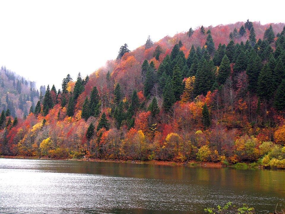
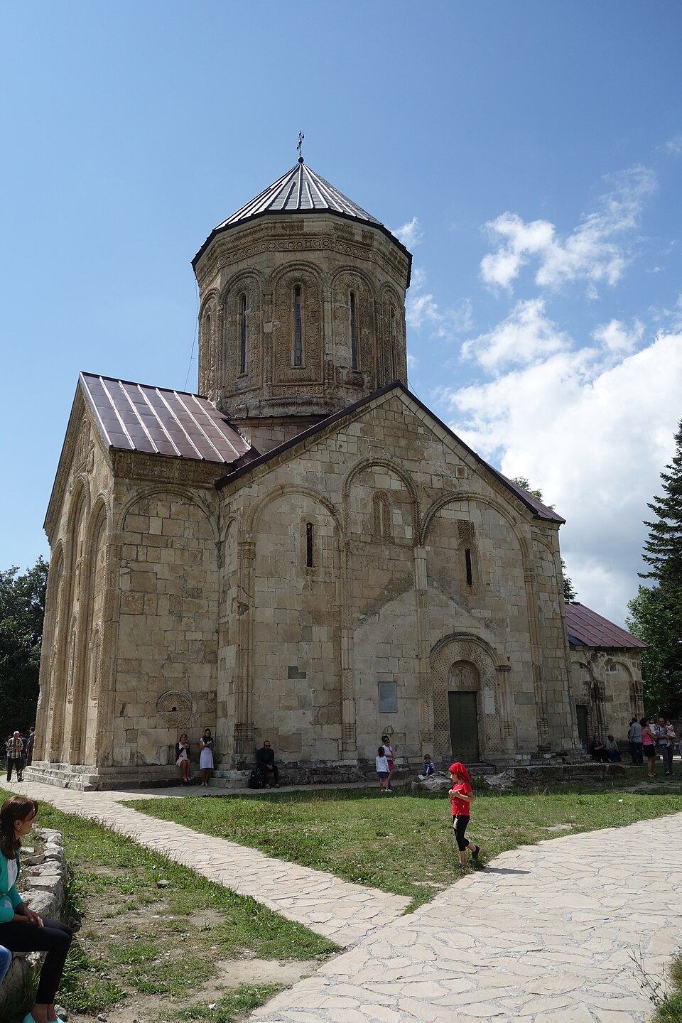
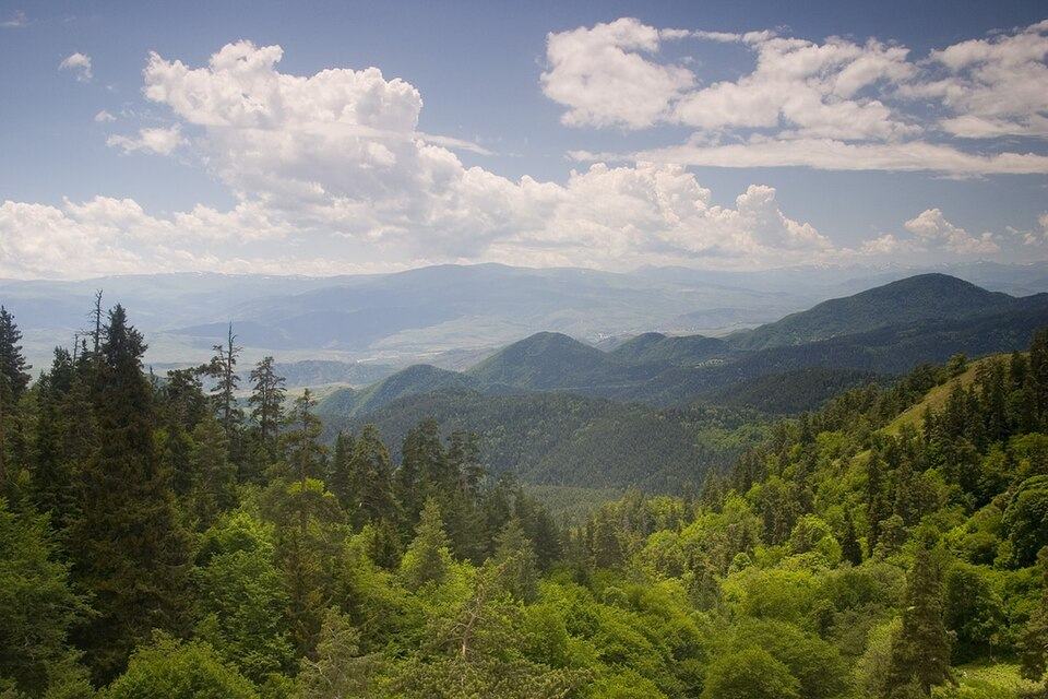
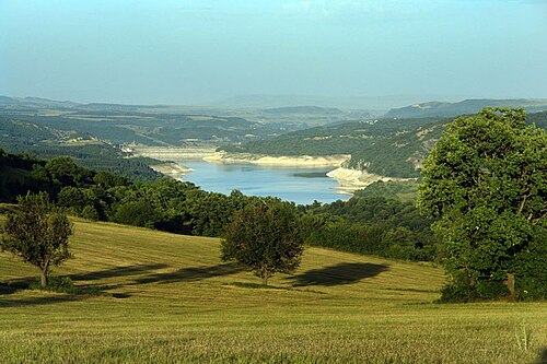
Created in 1995, Borjomi-Kharagauli National Park spreads across the Meskheti range above the spa town of Borjomi, about 2.5 hours west of Tbilisi. It has 12 marked trails and a set of tourist shelters. Day hikers choose the 7 km Likani valley loop or the 13 km Footprint Trail; trekkers take the Nikoloz Romanov Trail, about 43 km over three days, or the four-day St Andrew Trail past Sametskhvario peak (2,642 m). The park suits May to October, with superb autumn colour, and has marked snowshoe routes in winter.
Adjara and the Black Sea hills
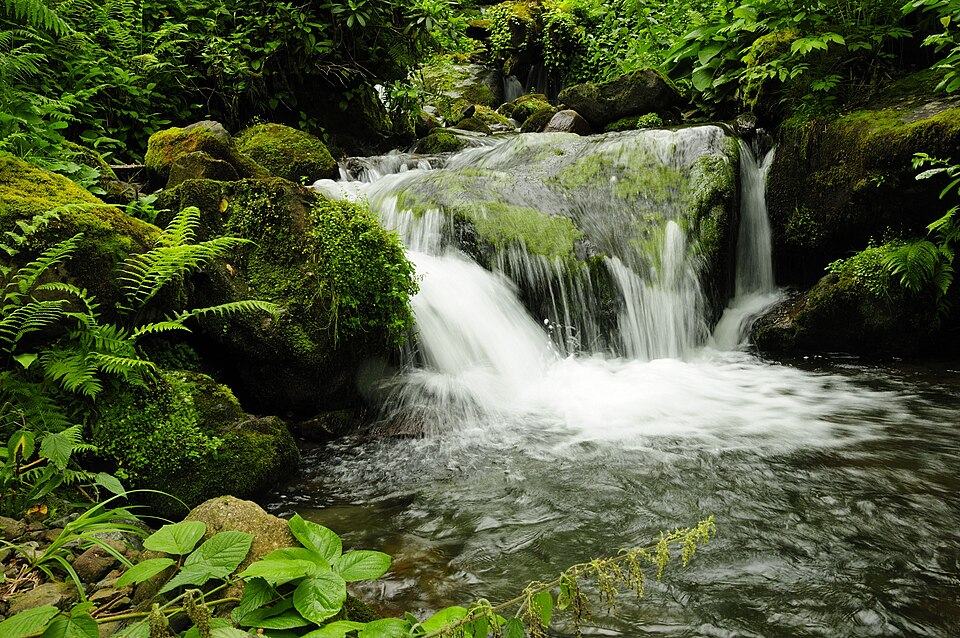
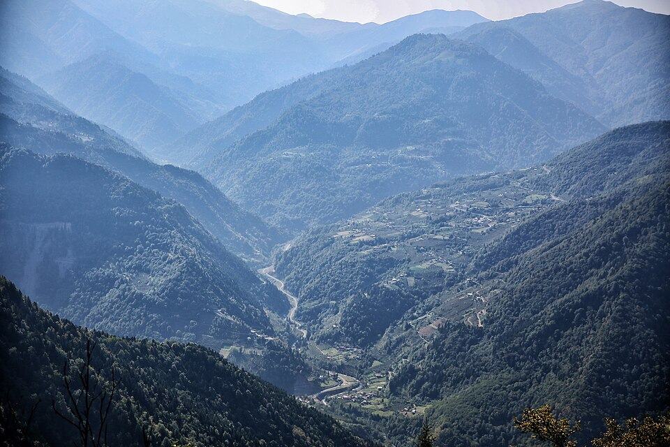
Behind Batumi, Mtirala National Park protects about 15,700 ha of Colchic rainforest that receives more than 4,000 mm of rain a year. The easy Tsablnari loop, about 7 km, reaches a waterfall and small lake; a two-day loop of about 16 km climbs to a shelter near 1,250 m. Machakhela, south-east of Batumi, mixes forest walks with old arched bridges and village life. Higher up, near the Goderdzi ski area, Green Lake makes an easy summer walk at roughly 2,060 m. Trails here are muddy after rain and leeches are not unknown, but they stay green and walkable from April to November.
Hikes near Tbilisi
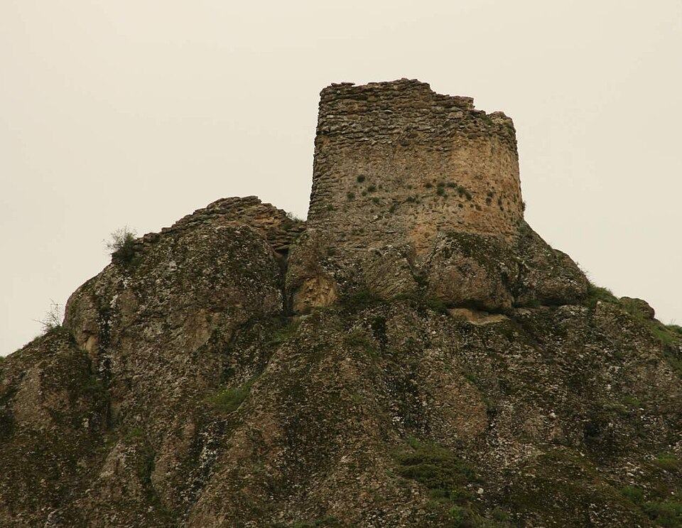
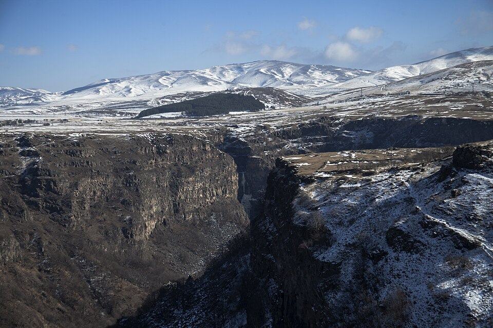
You do not need to leave the capital region for a good walk. Tbilisi National Park, on the Saguramo ridge north of the city, has a marked route of about 15 km from Zedazeni Monastery to Mamkoda, roughly 6 hours. South-west of the city, the cliffs and towers of Birtvisi fortress make a 5 km scramble of around 3 hours, and Algeti National Park above Manglisi has a 16 km loop called the Royal Ridge through fir and spruce. Dashbashi Canyon near Tsalka has a short trail to a waterfall. These walks are best from March to June and September to November; in July and August the lowlands are hot. Several appear in our guide to day trips from Tbilisi.
The best day hikes and multi-day treks in Georgia
These are the routes we would put on any first or second hiking trip. Distances are round trips for day hikes and totals for treks; figures vary between sources and with your exact start point, so treat them as typical values rather than measurements.
Best day hikes
| Hike | Region and start | Distance and time | Climb | Grade | Season |
|---|---|---|---|---|---|
| Gergeti Trinity Church | Kazbegi, Stepantsminda | About 6 to 7 km, 3 to 4 h | About 430 m | Easy | May to October |
| Gergeti Glacier viewpoint | Kazbegi, Stepantsminda | About 20 km, 8 to 10 h | Over 1,500 m | Challenging | July to September |
| Juta to Chaukhi Lake | Kazbegi, Juta | 12 to 14 km, 4 to 5 h | About 300 to 400 m | Easy to moderate | Late June to September |
| Truso valley to Zakagori | Kazbegi, Kvemo Okrokana | About 22 km, 5 to 6 h | Little | Moderate (long) | June to October |
| Koruldi Lakes | Svaneti, Mestia | About 14 km, 7.5 to 10 h (less with a 4x4 to the cross) | About 1,300 m | Challenging | July to September |
| Chalaadi Glacier | Svaneti, bridge 10 km from Mestia | About 6 km, 2 to 3 h | About 300 m | Easy | June to October |
| Shkhara Glacier | Svaneti, Ushguli | About 16 km, 6 h | Gentle | Moderate | July to September |
| Abudelauri Lakes | Khevsureti, Roshka | About 13 km, 5 h plus stops | About 600 m | Moderate | July to September |
| Omalo to Shenako and Diklo | Tusheti, Omalo | 5 to 6 h | Several hundred metres | Moderate | July to September |
| Ninoskhevi Waterfall | Lagodekhi | About 8.5 km, 4 to 6 h | Moderate | Moderate | April to November |
| Zedazeni to Mamkoda | Near Tbilisi | About 15 km, 6 h | Rolling, high point about 1,430 m | Moderate | March to November |
Best multi-day treks
| Trek | Region | Days | Distance | High point | Grade | Nights |
|---|---|---|---|---|---|---|
| Mestia to Ushguli | Svaneti | 4 | About 55 to 58 km | About 2,700 m | Moderate | Guesthouses |
| Juta to Roshka over the Chaukhi Pass | Kazbegi to Khevsureti | 1 to 2 | About 18 km | About 3,340 m | Challenging | Tent at the lakes or a long single day |
| Omalo to Shatili over the Atsunta Pass | Tusheti to Khevsureti | 5 to 6 | Varies by route | About 3,430 m | Challenging | Tents, guesthouses at each end |
| Pirikiti valley: Omalo, Dartlo, Parsma, Girevi | Tusheti | 2 to 4 | Village to village | About 2,200 m | Moderate | Guesthouses |
| Black Rock Lake | Lagodekhi | 3 | About 38 to 48 km | About 2,800 m | Moderate to challenging | Ranger shelter |
| Nikoloz Romanov Trail | Borjomi-Kharagauli | 3 | About 43 km | Over 2,000 m | Moderate | Park shelters |
| Glola to Udziro Lake | Racha | 2 | About 24 km | About 2,800 m | Challenging | Tent |
Best time to hike in Georgia, month by month
Altitude decides everything. The Greater Caucasus passes are reliably snow-free only from about early July, and the first autumn snow can arrive in late September. Below about 1,500 m, the season runs from March or April to November. Even in August, expect nights around freezing at 2,000 to 3,000 m.
| Months | High Caucasus (passes 2,700 to 3,400 m) | Mid mountains and forest parks | Near Tbilisi and lowlands |
|---|---|---|---|
| March to April | Deep snow; ski touring and snowshoeing only | Lower trails open, wet and muddy, waterfalls full | Best time: green hills, mild days |
| May | Snow on passes, avalanche risk, high rivers | Good: Lagodekhi, Mtirala, Borjomi lower trails | Very good, rising heat late in the month |
| June | Valley walks fine; passes often still snowy; Tusheti road opens | Very good, wildflowers | Hot afternoons |
| July | Main trekking season starts; storms on many afternoons | Good, humid in Adjara | Too hot for most |
| August | Most stable, busiest, guesthouses full | Good | Too hot for most |
| September | Clear, cooler, quieter; first snow possible late month | Excellent, autumn colour begins | Good again |
| October | Passes risky; Tusheti and Shatili roads close; guesthouses shut | Excellent colour in Borjomi and Lagodekhi | Very good |
| November to February | Winter: guided ski touring only | Lower forest trails, short days | Mild days possible |
If you can choose, late August to mid-September is the sweet spot for the high routes: stable weather, lower rivers and fewer people than early August. Our best time to visit Georgia article gives the wider month-by-month picture beyond the trails.
How hard is hiking in Georgia? Difficulty grades explained
Georgian trails are rarely technical, but they are often steep, long and remote. A path that climbs straight up a slope instead of zigzagging is normal, and rescue can be hours away. We grade hikes and tours on the numbers rather than on feel, using the scale below.
| Grade | Walking per day | Climb per day | Terrain | Examples |
|---|---|---|---|---|
| Easy | 2 to 4 h | Under 400 m | Clear paths and tracks, no exposure | Chalaadi Glacier, Juta valley, Likani loop, Gergeti Church |
| Moderate | 4 to 7 h | 400 to 900 m | Steep sections, rough ground, possible ford | Mestia to Ushguli, Shkhara Glacier, Abudelauri Lakes, Ninoskhevi Waterfall |
| Challenging | 7 to 10 h | 900 to 1,500 m | Passes above 3,000 m, scree, snow patches, remote | Chaukhi Pass, Atsunta Pass, Koruldi Lakes, Gergeti Glacier viewpoint |
| Technical | 10 h or more | Over 1,500 m | Glaciers, crevasses, ropes and crampons | Mount Kazbek by the Gergeti Glacier |
As a rule of thumb, if you can walk 15 km with 800 m of climbing at home and feel fine the next morning, you are ready for a moderate Georgian trek. For challenging routes you want several back-to-back days of that, plus experience on loose rock and in bad weather. Remember that guesthouse treks are easier than the numbers suggest, since you carry only a daypack, while camping routes with your own kit are harder.
Hiking in Georgia with a guide or on your own?
Independent hiking is common and perfectly reasonable on the busy routes. Mestia to Ushguli, Gergeti, Juta, Truso, Koruldi and the Tusheti village paths see walkers every day in summer, guesthouses take bookings by phone or messaging apps, and an offline map app shows the trail. Many hikers do these on their own and never feel the need for more.
A guide pays for itself in four situations. First, on remote passes such as Chaukhi and Atsunta, where you may see no one all day and route-finding in cloud is genuinely hard. Second, in June or late September, when snow, high water or early closures change the picture from week to week. Third, wherever logistics are the real obstacle: a 4x4 to the trailhead, a driver waiting at the far end, horses for the river or the gear, border registration. Fourth, when you want the stories behind the towers, shrines and customs that you would otherwise walk straight past.
- Fine on your own in July to September: Gergeti Church, Juta, Truso, Chalaadi, Shkhara Glacier, Mestia to Ushguli, Omalo village walks, Lagodekhi waterfalls, Zedazeni to Mamkoda.
- Better with a guide or an experienced partner: Gergeti Glacier viewpoint, Koruldi Lakes in poor weather, Guli Pass, Abudelauri Lakes to Chaukhi Pass.
- Guide strongly advised: Omalo to Shatili, Black Rock Lake, Udziro Lake, any high route in June or October.
- Guide required in practice: Mount Kazbek and any glacier travel.
Private hiking tours in Georgia: horses, tents and gear included
We run every hiking trip as a private tour: you pick the dates and the group is just you and your companions, whatever its size. A licensed mountain guide in your language leads the walking days, and a driver handles every transfer, including the 4x4 legs to trailheads that are hard to reach by public transport.
- Luggage moved for you: on guesthouse treks your main bag travels ahead by car or horse each morning, so you walk with a daypack.
- Pack horses and horsemen on the camping and climbing routes, carrying tents, food and group kit, and a horse to carry you over the glacier river below the Chkhunderi Pass in Svaneti.
- Camping equipment supplied where a route needs it: tents, sleeping mats and a full camp kitchen with a cook, so you do not haul a stove or fuel.
- Sleeping bags available to rent on request, which saves packing a winter bag for a single night out.
- Border police registration arranged in advance for routes in the border zone.
- A first-aid kit and satellite communicator carried by the guide, as phone signal fails on most passes.
- All meals on the trek, with packed lunches on walking days.
You bring personal kit: boots, waterproofs, warm layers and a daypack. Our Svaneti trek is the best introduction, eight days with every night under a roof. The Kazbegi and Khevsureti trek is harder, with acclimatisation walks, the Chaukhi Pass and a supported camp at the Abudelauri Lakes. In Tusheti you can explore from Omalo on foot with the 4x4 adventure, or ride the valleys for four days on Tush horses. For a summit, the Kazbek climb uses pack horses up to the glacier edge and a weather day in reserve.
Permits, border zones and park registration
Most Georgian trails need no permit at all. The exceptions come from geography: the main Caucasus ridge is also the frontier with Russia, so long stretches are a border zone, and several routes approach the occupation lines of Abkhazia and the Tskhinvali region (South Ossetia), which are occupied territories. Rules change, so treat the list below as a starting point and confirm locally before you set off. Always carry your actual passport in the mountains, not a copy.
- Omalo to Shatili: hikers register with the border police at Girevi in upper Tusheti before crossing the Atsunta Pass, and documents may be checked again on the Khevsureti side.
- Shatili, Mutso and the Argun valley: expect passport checks on the road; registration may be required.
- Mount Kazbek: climbers register with the border police in Stepantsminda before the ascent.
- Truso valley: Zakagori fortress is the limit for visitors, controlled by a Georgian post.
- Mazeri and the Ushba trails: the route passes a border post near the Russian frontier.
- Vashlovani, and a few Adjaran ridge walks close to Turkey, also fall inside border zones; ask the park or the Border Police in advance.
National parks are a separate matter. Lagodekhi, Borjomi-Kharagauli and Mtirala want walkers to sign in at the visitor centre before longer routes, and the rangers can tell you about shelters, water and conditions. Wild camping is generally tolerated in Georgia, but Borjomi-Kharagauli restricts it to designated sites and shelters, and the same applies in other protected areas. Never approach the occupation line in Truso, around the Kelitsadi plateau or near Shida Kartli, whatever a map app shows. On our private treks the guide arranges border paperwork and park registration; you send passport details in advance.
Hiking safety in Georgia: 112, dogs, rivers and weather
Crime is not the issue on Georgian trails. The real risks are mountain ones, made more serious by distance from help. Our full guide to whether Georgia is safe covers travel in general; these are the points that matter on foot.
Emergencies and 112
One number, 112, reaches every emergency service in Georgia, mountain rescue included, and English is usually understood. Install the official 112 app before you travel and know that helicopter evacuation depends on weather and can take many hours. Mestia and other mountain towns have only basic clinics, with the main hospitals in Tbilisi and Kutaisi. Visitors to Georgia have needed health insurance since 1 January 2026; for hiking, check that your policy also covers search and rescue, helicopter evacuation and the altitude you will reach.
Weather and lightning
Summer mornings are often clear, and clouds then pile up over the ridges until thunderstorms break in the afternoon. Be off exposed ridges and passes by early afternoon, start long days at first light, and carry waterproofs and a warm layer in every month. Snow can fall above 3,000 m even in August.
River crossings
Many valleys lack bridges, and glacier-fed rivers swell through the day as the sun melts the ice. Cross early in the morning, unclip your hip belt, face upstream and use poles. If the water is fast or above your knees, wait, look for a horseman or turn back.
Shepherd dogs, bears and other wildlife
From June to September big Caucasian sheepdogs live with the flocks on summer grazing, and they are the hazard hikers meet most often. Do not run or approach the sheep. Stop, keep calm, hold a pole low between you and the dog and wait for the shepherd to call it off; bending down as if to pick up a stone usually makes a dog hesitate. Give flocks a wide berth. Brown bears live in Lagodekhi, Borjomi-Kharagauli and the high valleys but are rarely seen; talk as you walk in thick forest and keep food out of your tent. Ticks are common in long grass in spring and early summer, and vipers sun themselves on warm rocks.
Navigation, water and signal
Download offline maps and a GPS track before you leave town, and do not assume the line in a hiking app is right: check junctions yourself. Phone signal is good in Mestia, Stepantsminda and Omalo but disappears in side valleys and on passes; Magti usually covers the most ground. Livestock graze nearly everywhere, so filter or treat stream water. Tell your hosts your route and expected arrival, carry enough to survive an unplanned night out, and turn back when the weather or the water says so.
Planning a hiking trip: transport, guesthouses, maps and packing
Getting to the trailheads
Stepantsminda and Mestia are easy to reach by bus or shared minibus, and Mestia also by train to Zugdidi and a long minibus ride, or by small plane when the weather allows. Tusheti and Khevsureti are a different story: shared 4x4s for Omalo and the summer van to Shatili run on limited schedules, and the start or end of many treks, such as Roshka, Girevi or Glola, has no regular transport at all. Our guide to getting around Georgia covers the main routes; for trailheads, a driver booked in advance is often the only real option.
Guesthouses and food
Mountain guesthouses usually offer half board: dinner and breakfast, with a packed lunch if you ask. Rooms are simple and bathrooms often shared. Book ahead for August, especially in Adishi, Juta, Omalo and Shatili. Bring cash in lari, because cash machines are found only in the larger towns such as Mestia and Stepantsminda, and Tusheti has none.
Maps and apps
Offline apps built on OpenStreetMap data cover all the routes in this guide. Printed park maps are available at the visitor centres of Borjomi-Kharagauli and Lagodekhi, and Tbilisi map shops sell topographic sheets. Waymarking is good on the main park trails and the Mestia to Ushguli route, patchy elsewhere.
What to pack
- Broken-in boots with a grippy sole, plus sandals for river crossings
- Trekking poles: Georgian descents are long and steep
- Waterproof jacket and trousers, fleece or down layer, hat and gloves
- Sun hat, sunglasses and strong sunscreen for long hours above the treeline
- Water bottles for 2 litres, and a filter or tablets
- Head torch, power bank and offline maps
- First-aid basics, blister care and any personal medicine
- Passport, cash and insurance details
- For camping routes: a sleeping bag rated to about minus 5 °C; gas canisters cannot fly, so buy them in Tbilisi or Mestia
Hiking in Georgia FAQ
Where is the best hiking in Georgia?
Svaneti and Kazbegi are the best regions for a first trip, with famous trails, guesthouses and easy access. Tusheti and Khevsureti are wilder and better for experienced trekkers, and Racha is the quietest. Lagodekhi and Borjomi-Kharagauli are the top choices outside the high Caucasus.
When is the best time to hike in Georgia?
For the high mountains, July to mid-September, when the passes are clear of snow; late August and early September are often the most settled. For forest parks and hikes near Tbilisi, April to June and September to November are best.
Can you hike in Georgia without a guide?
Yes, on the popular routes such as Mestia to Ushguli, Gergeti, Juta, Truso and the Tusheti village paths. A guide is wise for remote passes like Chaukhi and Atsunta, for routes in the border zone and for anything in June or October, and essential for Kazbek.
Are permits needed for hiking in Georgia?
Usually not. You register with the border police for Omalo to Shatili (at Girevi) and Mount Kazbek (in Stepantsminda), and parks such as Lagodekhi and Borjomi-Kharagauli expect you to sign in with the rangers first. Always carry your passport in the mountains.
What is the most famous trek in Georgia?
The four-day Mestia to Ushguli trek in Svaneti, about 55 to 58 km between tower villages with guesthouses every night. For harder walking, people search for the Chaukhi Pass crossing out of Juta and the Atsunta route linking Tusheti with Shatili.
Is hiking in Georgia dangerous?
The trails are not technical and crime is rare, but help can be far away. The main risks are afternoon thunderstorms, glacier rivers, shepherd dogs and getting lost on unmarked paths. Start early, carry an offline map and warm layers, and call 112 in an emergency.
Do I need a tent to hike in Georgia?
Not for the classic routes, where every stage ends at a guesthouse. You need camping gear for Omalo to Shatili, Udziro Lake and some Chaukhi Pass itineraries; on our private treks tents, mats, a camp kitchen and pack horses are provided.
Are there good hikes near Tbilisi?
Yes. The Saguramo ridge walk between Zedazeni and Mamkoda in Tbilisi National Park takes about 6 hours, Birtvisi offers a short rocky scramble to a cliff fortress, and Algeti National Park has a 16 km forest loop. They are best in spring and autumn.