Machakhela National Park
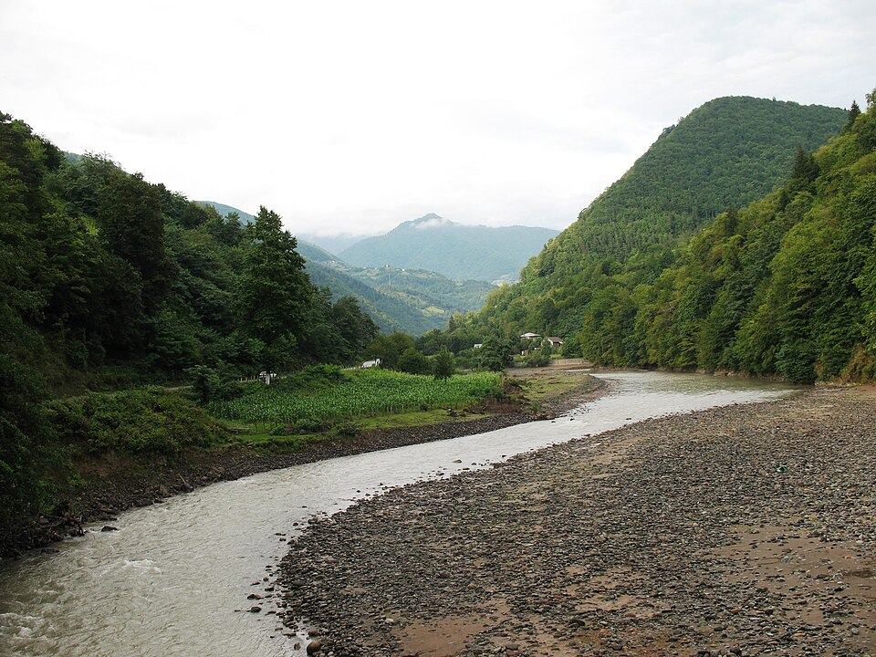
A quiet river valley on the Turkish border south-east of Batumi, protecting Colchic forest, stone arched bridges and traditional villages since 2012.
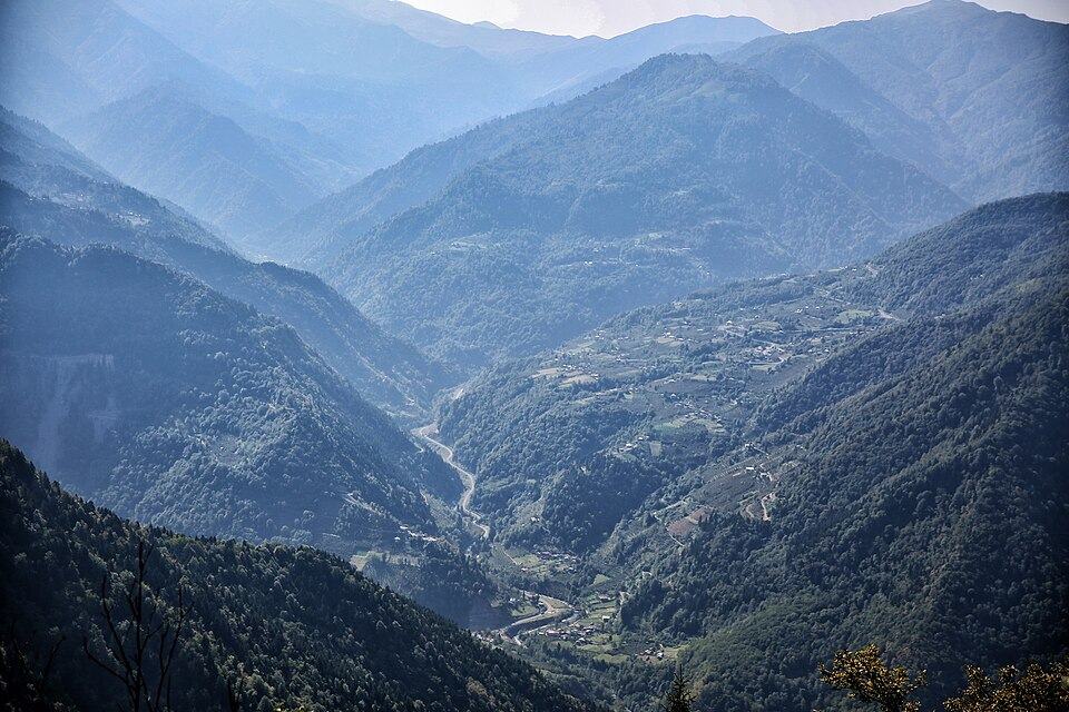 Machakhela National ParkPhoto: Paata vardanashvili, CC BY-SA 4.0
Machakhela National Park covers 8,733 hectares of the Machakhela river valley in Khelvachauri municipality, south-east of Batumi, where the river flows in from Turkey. Created in 2012, it protects Colchic forest on steep slopes, and across the border the protection continues in Turkey's Camili Biosphere Reserve. It sees far fewer visitors than Mtirala, and the appeal is as much the valley's way of life as the forest: small villages, old stone winepresses, ruined fortresses and medieval arched bridges over the river and its side streams.
Two walking trails start from the villages along the valley road, and the park administration in Acharisagmarti can advise on routes and guides. On the way in, the short walk to the Mirveti waterfall, about 20 m high, makes a good stop. Bring food and water, as services in the valley are basic, and plan your visit between May and October.
What to see and do
- Colchic forest along the Machakhela river
- Medieval stone arched bridges and fortress ruins
- Traditional villages such as Chkhutuneti
- Mirveti waterfall near the start of the valley
How to visit
Getting there
The park lies south-east of Batumi, reached by the road south along the Chorokhi river and then up the Machakhela valley; allow under an hour by car. A few buses a day run from Batumi to Lower and Upper Chkhutuneti.
When to go
May–October. Plan half a day to 1 day here.
- Bring food and water; shops and cafes in the valley are few.
- Ask at the park administration about current trail conditions and guides.
- The valley road is narrow, so a local driver can be easier than self-driving.
- Stop at the Mirveti waterfall on the way in.
Machakhela National Park: FAQ
Where is Machakhela National Park?
In Khelvachauri municipality south-east of Batumi, in the Machakhela river valley on the border with Turkey. The park administration is in the village of Acharisagmarti.
When was Machakhela National Park created?
It was established in 2012 and covers 8,733 hectares. Across the border it adjoins Turkey's Camili Biosphere Reserve.
Tours that include Machakhela National Park
Read more in our guides
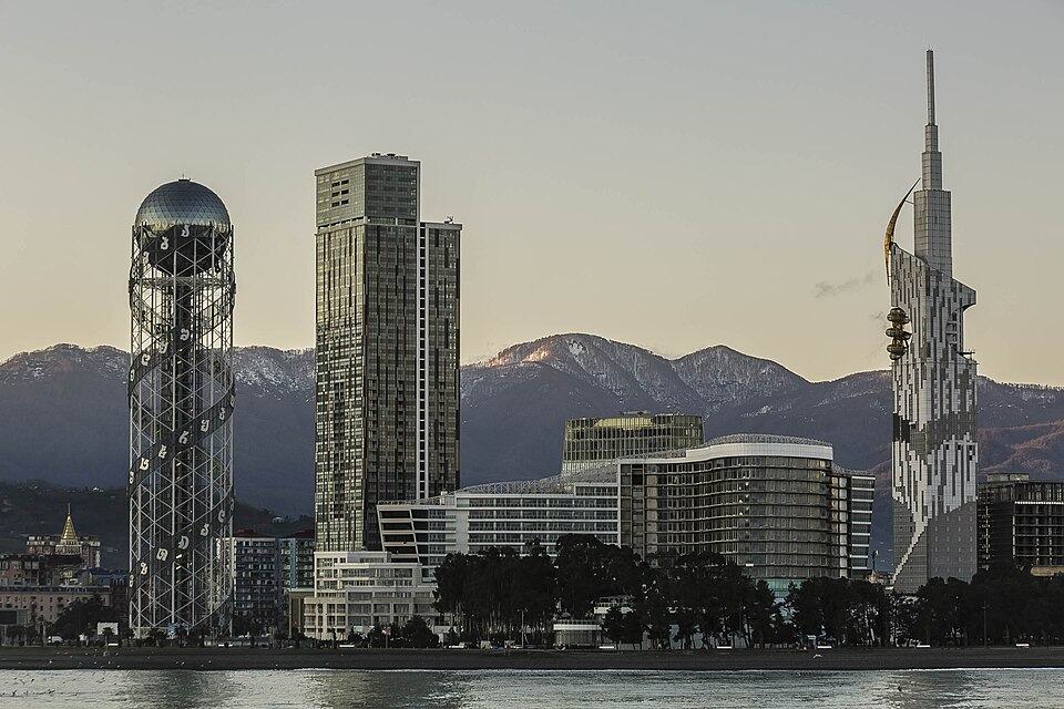 Photo: Commander, U.S. Naval Forces Europe-Africa/U.S. 6th Fleet, Public domain
Seafront walks, the old town, the best pebble beaches and day trips from Roman Gonio to the mountain villages of Upper Adjara, plus the rain, the trains and where to sleep.
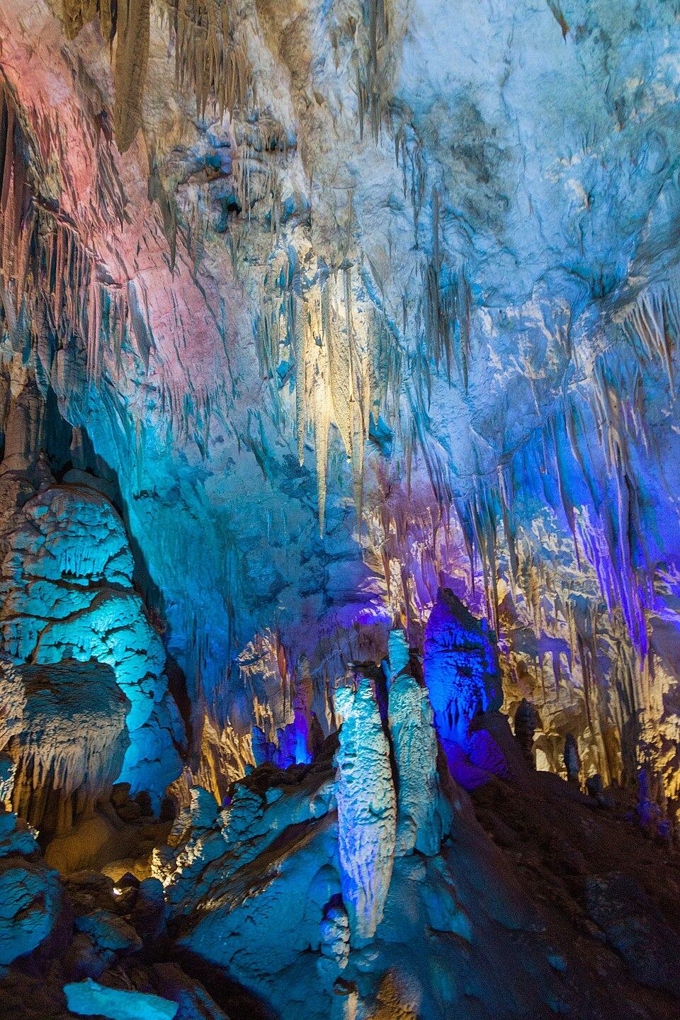 Photo: Marcin Konsek, CC BY-SA 4.0
What Prometheus Cave, Martvili Canyon, the National Museum, Vardzia, the Tbilisi cable cars and dozens of other sights cost to enter in 2026, with hours, combo tickets and free alternatives.
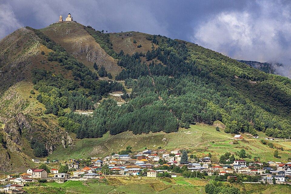 Photo: Supanut Arunoprayote, CC BY 4.0
Where to walk in Georgia's mountains and forests, when the passes open, how hard each trail is, what permits you need and how to stay safe, with tables of top walks and treks.
Nearby places
Straight-line distance from Machakhela National Park.