Tobavarchkhili (Silver Lakes) Trek, Samegrelo
Four days of wild camping among the high lakes of the Egrisi range in Samegrelo, centred on Tobavarchkhili, the 'silver lake' at about 2,650 m: roughly 35 km and 2,150 m of ascent on foot after a 4x4 approach from Mukhuri.
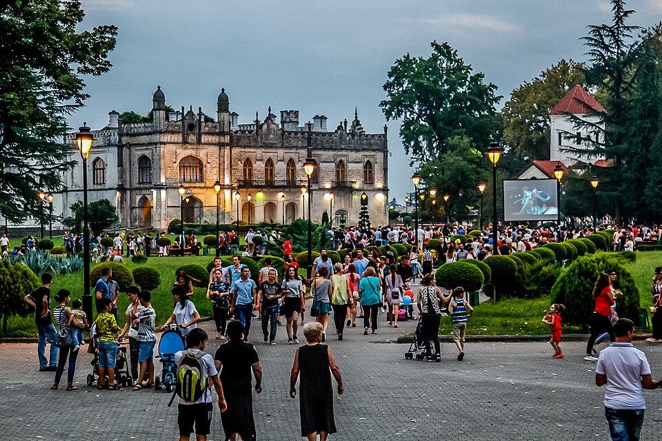
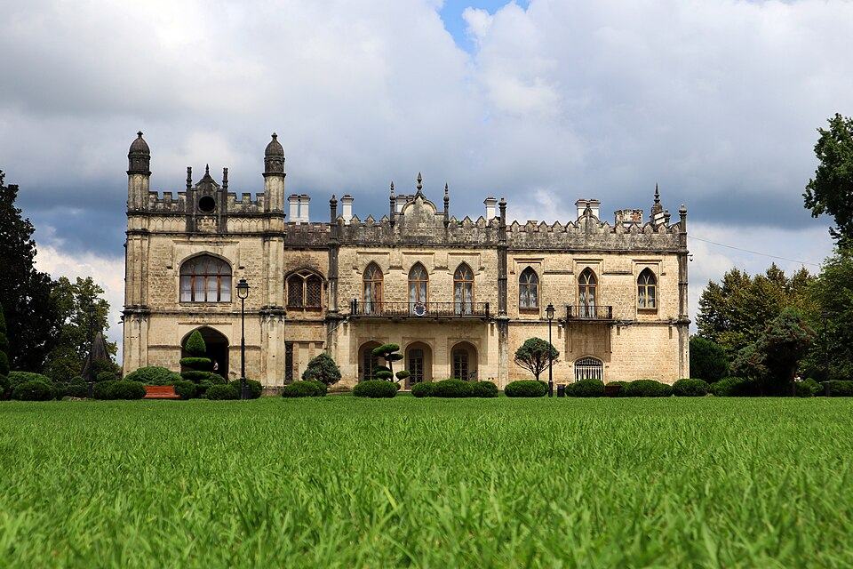 Dadiani PalacePhoto: Natia an, CC BY-SA 4.0
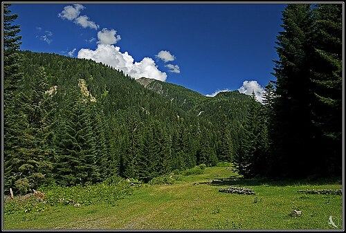
Tobavarchkhili means 'silver lake' in Megrelian, and it is the largest of a family of glacial lakes on the Egrisi range, the mountain wall between lowland Samegrelo and the Enguri gorge. Around it sit Okhoje, Didgalish, Kalalish, Tsakatskarish and, further off, Lakumurashi. The Magana river begins here and cuts a steep canyon toward the south. There are no villages, huts or marked campsites, only shepherds' paths, scree and big views west toward the Black Sea haze.
The usual approach is from Mukhuri in Chkhorotsku municipality, where a 4x4 grinds up a long forest track to the Natipuru meadow. From there you walk over a pass of about 2,720 m to Okhoje, camp twice at Tobavarchkhili with a day for the neighbouring lakes, and return over the same pass. It is a 4 on our scale: all camping, real remoteness, snow patches and loose rock, and no phone signal.
This is a trek for people who already carry a tent comfortably in the mountains or who go with a guide and horses. It rewards that effort with some of the quietest high country in Georgia.
Highlights
- Camping beside Tobavarchkhili, the largest lake of the Egrisi range
- Five or six lakes of different colours in two days
- The source of the Magana and the top of its canyon
- Almost no other hikers, even in August
Trail facts
Last checked Oct 2026 by the Maspindzeli team. Mountain conditions change: ask us before you go.
Is this right for you?
Three quick questions for a friendly second opinion. Nothing is sent anywhere.
Stage by stage
| Day | From → to | Distance | Up | Down | Hours | Highest |
|---|---|---|---|---|---|---|
| 1 | Natipuru meadow → Okhoje lake | 9 km | +850 m | −330 m | 6-8 h | 2,720 m |
| 2 | Okhoje lake → Tobavarchkhili | 4 km | +350 m | −150 m | 3-4 h | 2,750 m |
| 3 | Tobavarchkhili → Tobavarchkhili | 9 km | +600 m | −600 m | 5-6 h | 2,850 m |
| 4 | Tobavarchkhili → Natipuru meadow | 13 km | +350 m | −1,070 m | 7-8 h | 2,720 m |
01Natipuru to Okhoje lake over the first passNatipuru meadow → Okhoje lake · 9 km · 6-8 h
Most groups sleep the first night at Natipuru after the drive up, which also helps with the altitude. Climb north through beech and rhododendron onto open grass, then up a long rocky slope to the Okhoje pass at about 2,720 m; paint marks and cairns appear in places but are not continuous. Expect snowfields near the top until August. Drop to the small, boulder-ringed Okhoje lake for the night; there is level ground for several tents.
02Okhoje to TobavarchkhiliOkhoje lake → Tobavarchkhili · 4 km · 3-4 h
A short but rough stage over boulder fields and a low shoulder to the main lake at about 2,650 m. Arrive by midday, pitch on the grassy shelves near the outflow of the Magana and use the afternoon to walk the shore. In still conditions the water takes on the pale sheen that gives it its name.
03Day of the lakes: Didgalish, Kalalish and TsakatskarishTobavarchkhili → Tobavarchkhili · 9 km · 5-6 h
Leave the tents and climb the ridge north-east of camp. Didgalish, the closest neighbour, lies just beyond; Kalalish, a small heart-shaped lake at about 2,490 m, comes next, and Tsakatskarish completes the loop. Route-finding is on scree and grass without a continuous path, so keep the track open and turn back early if cloud drops onto the ridge.
04Return to NatipuruTobavarchkhili → Natipuru meadow · 13 km · 7-8 h
Start at first light. Retrace the route past Okhoje, re-cross the pass and descend the long slope to the meadow, where your pre-booked 4x4 waits. The descent over loose rock is tiring with a full pack; allow time for a slow group.
Practical information
Getting there
Reach Zugdidi first: the morning train from Tbilisi (about 16 to 28 GEL, roughly $6 to $10, in 2026) or a flight to Kutaisi and 1.5 hours by road. From Zugdidi a taxi to Mukhuri through Chkhorotsku takes 1 to 1.25 hours and costs about 70 to 100 GEL (about $26 to $37). In Mukhuri, local drivers run 4x4s up the rough track of roughly 24 km to the Natipuru meadow, 3 to 5 hours depending on mud: budget about 350 to 500 GEL (about $130 to $185) per vehicle each way, booked ahead through your host. Mukhuri is about 330 km from Tbilisi if you drive yourself.
Getting back
Arrange the 4x4 pick-up at Natipuru for a fixed day before you start, with a spare day in hand, and then a taxi or minibus from Mukhuri back to Zugdidi. Without a pre-booked vehicle you face a long walk down the track.
Water
Abundant: streams, snowmelt and the lakes themselves. Grazing animals are fewer than in Svaneti but still present on the lower pastures, so filter or boil everything. There is nowhere to buy food or fuel after Mukhuri; bring gas canisters from Tbilisi or Zugdidi.
Phone signal
Assume none from the end of the road. Some high points on the ridge pick up a weak Magti signal on a clear day, but nothing you can rely on. A satellite messenger or personal locator beacon is strongly recommended.
Nearest help
Dial 112 if you can find a signal. Realistically the nearest help is a long day's walk and a 4x4 ride away: Mukhuri village, then Chkhorotsku and the hospital in Zugdidi, 1 to 1.5 hours further by road. Evacuation from the lakes would take most of a day even in good conditions.
Permits
No permit or fee. There are no rangers or registration points, so leave your itinerary and expected return date with your Mukhuri host or driver, and with someone at home.
Gear and safety
What to bring
- Four-season or sturdy three-season tent rated for strong wind
- Sleeping bag comfortable to about -5 C; nights near the lakes drop close to freezing even in August
- Stove, fuel and food for the whole trek plus one spare day
- Boots with stiff soles for scree and snow; gaiters
- Trekking poles
- Water filter or tablets
- Satellite messenger or personal locator beacon
- Offline map and a paper or downloaded backup
- Full waterproofs: this side of the range catches moist air from the Black Sea
Stay safe
- This is remote country with no signal and no huts. Do not go alone, and carry a way to call for help.
- Cloud from the Black Sea can wrap the ridge within an hour. Navigation on the lakes day is on trackless scree; turn back when visibility drops.
- Snowfields below the passes can be hard and icy in the morning. Without crampons or microspikes, wait for the sun to soften them or choose another line.
- The 4x4 track to Natipuru is steep and muddy after rain; travel only with an experienced local driver.
- Bears live in the forests of the Egrisi range. Store food away from the tent and do not leave rubbish.
- Longer: add a day for Lakumurashi, the most distant lake, reached by a hard, unmarked out-and-back.
- Magana gorge: a half-day walk from Tobavarchkhili down to the head of the Magana canyon and back, about 8 km.
- Traverse to Svaneti: continue from the lakes north-east to Khaishi in the Enguri gorge over two hard days, roughly 40 km with river crossings, and catch transport toward Mestia.
- No 4x4: walk the full track up from Mukhuri, adding about one and a half to two days and over 1,000 m of extra ascent.
- Bad weather: stay at Okhoje or Tobavarchkhili an extra night; never cross the pass in fog.
Emergency number in Georgia: 112. Tell your guesthouse your plan before you set off.
Places on and near the route
Tours that include this trail
Tobavarchkhili (Silver Lakes) Trek, Samegrelo: FAQ
How long is the Tobavarchkhili trek?
About 35 km on foot over four days from the Natipuru meadow, plus the 4x4 approach from Mukhuri. Allow six days from Zugdidi and back, including travel and a spare day.
Can you drive to Tobavarchkhili lake?
No. Vehicles stop where the track ends at Natipuru, below the treeline, and from there it is at least a full day on foot over a pass to the first lakes.
Which months suit the Silver Lakes best?
August and the first half of September. Earlier in the summer snow often lies on the passes, and from late September the weather becomes unsettled.
Do I need a guide for Tobavarchkhili?
Unless you are an experienced backcountry navigator, yes. Paths are intermittent, there is no signal and the nearest road is a day away.
Last checked Oct 2026 by the Maspindzeli team. Mountain conditions change: ask us before you go.