Udziro Lake Trek from Glola, Racha
The best-known high-mountain trek in Racha: two days from Glola, climbing a long grassy ridge to a lake basin some 2,800 m up, with a night in a tent by the water and the same way back. Roughly 22 km and 1,650 m of ascent in total.
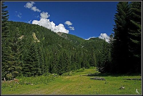 ShoviPhoto: George Kvizhinadze, CC BY-SA 2.0
Udziro means 'bottomless' in Georgian, a name that comes from the lake's dark blue colour rather than its actual depth. It lies in a rocky basin between the peaks of Dolomisi and Katitsvera on the Caucasus spur north of the upper Rioni, about 2,800 m up, with the main ridge on the Russian border close behind. It is one of the few genuinely alpine lakes in Racha and sees only a handful of tents on most summer nights.
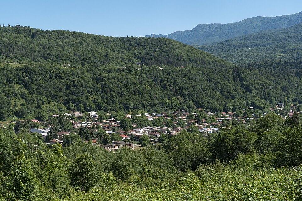
The standard way up is from Glola, the last sizeable village on the Rioni below the Mamisoni road. Day 1 is a long, sustained climb out of the forest and along a broad, shadeless ridge to the lake; day 2 returns the same way. We grade it 4: about 1,550 m of climbing on day 1, camping, and an exposed ridge where fog and wind make navigation hard.
The old resort of Shovi, just above Glola and the traditional start of a second route to the lake, was largely destroyed by the landslide and mudflow of August 2023. Check locally before relying on any path or bridge in that side valley.
Highlights
- Camping beside a deep-blue alpine lake at about 2,800 m
- Long ridge walk with views over the upper Rioni valley
- Sunrise on the peaks of the main Caucasus ridge
- A remote Racha route with very few other hikers
Trail facts
Last checked Oct 2026 by the Maspindzeli team. Mountain conditions change: ask us before you go.
Is this right for you?
Three quick questions for a friendly second opinion. Nothing is sent anywhere.
Stage by stage
| Day | From → to | Distance | Up | Down | Hours | Highest |
|---|---|---|---|---|---|---|
| 1 | Glola → Udziro Lake | 11 km | +1,550 m | −100 m | 6-8 h | 2,820 m |
| 2 | Udziro Lake → Glola | 11 km | +100 m | −1,550 m | 4-5 h | 2,820 m |
01Glola to Udziro LakeGlola → Udziro Lake · 11 km · 6-8 h
Leave Glola on a forest track and turn onto the steep path that gains the ridge, the hardest climbing of the day, about 550 m in the first 1.5 hours. Above the treeline the route follows the spine of a long ridge with valleys on both sides and no shade at all. The shepherds' pastures, at roughly 2,200 m, have the last reliable spring: drink and refill. The path fades in the grass higher up, so follow the crest and your offline map to the upper slopes, then cross into the stony basin that holds the lake. Pitch on the flat ground near the shore; there is no firewood, so bring a stove.
02Udziro Lake back to GlolaUdziro Lake → Glola · 11 km · 4-5 h
Walk around the shore in the early light, when the water is at its bluest and the wind usually still. Then retrace the ridge. The descent is quick on grass but punishing on the knees in the final drop through the forest to Glola; take it steadily with poles.
Practical information
Getting there
Reach Oni first. From Kutaisi, minibuses take 2.5 to 3 hours via Tkibuli and Ambrolauri for roughly 15 to 20 GEL ($6 to $7); from Tbilisi's Didube station one or two direct services a day take about 5 to 6 hours for around 30 GEL ($11). Vanilla Sky flies Natakhtari to Ambrolauri on Fridays and Sundays in good weather. From Oni a taxi up the Rioni to Glola, about 25 km, costs roughly 50 to 70 GEL (about $19 to $26) in 2026. Hiring a driver for the whole way from Kutaisi to Glola costs in the region of 300 to 400 GEL, or $110 to $150. Sleep in Glola or Oni the night before.
Getting back
Walk down to Glola and have a taxi booked from Oni for a fixed time; there is no regular public transport in the upper valley. Allow a cushion, since descents with heavy packs often take longer than planned.
Water
Streams in the lower forest above Glola, then one spring at the shepherds' summer pastures roughly two-thirds of the way up. Above that the open ridge is dry until the lake, so fill 2 to 3 litres at the pastures. Filter or boil lake water; it is fed by snowmelt but cattle graze the basin.
Phone signal
Usually available in Glola and on parts of the open ridge facing the valley. Weak or absent in the lake basin. Download the route before leaving Oni.
Nearest help
Dial 112. Oni has a small hospital and the only pharmacies in upper Racha; Ambrolauri hospital is about 45 minutes further. From the lake, help is at least 4 to 5 hours on foot down to Glola.
Permits
None known for the Glola route. The upper Rioni valley runs up toward the Russian border at the Mamisoni Pass, so carry your passport and do not head north of the lake basin.
Gear and safety
What to bring
- Tent that handles strong wind, and a warm sleeping bag (comfort about -3 C)
- Stove and fuel: there is no wood at the lake
- Windproof jacket, warm hat and gloves
- Sun hat and high-factor sunscreen for the shadeless ridge
- 3 litres of water capacity per person and a filter
- Trekking poles
- Offline map with the track loaded
- Passport
Stay safe
- The ridge is completely exposed to sun, wind and lightning. Leave Glola early and get off the crest if storms build.
- In fog the path above the pastures is hard to follow; mark your route on an offline map and be ready to turn back.
- Snow can linger in the basin and on north slopes into July; carry microspikes early in the season.
- Avoid the Shovi side valley unless you have current local information: the 2023 disaster changed the ground and damaged paths.
- Shepherd dogs guard flocks at the summer pastures; pass at a distance and let the shepherds call them back.
- Day hike: Glola to the summer pastures and back, about 14 km and 850 m of ascent, for a taste of the ridge without camping.
- Traverse: experienced trekkers have crossed from the Shovi side over a pass of roughly 3,050 to 3,250 m to the lake and down to Glola, about 18 km over two days. Since 2023 its access is uncertain; go only with a local guide.
- Three days: spend a second night at the lake and scramble up the slopes of Dolomisi or Katitsvera for views over the border ridge.
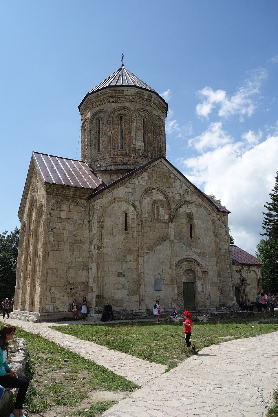
- Bad weather or less time: walk to the Buba glacier in the next valley north-east, a valley route with less exposure, or visit Nikortsminda Cathedral and the Khvanchkara wine villages.
Emergency number in Georgia: 112. Tell your guesthouse your plan before you set off.
Places on and near the route
Tours that include this trail
Udziro Lake Trek from Glola, Racha: FAQ
How high is Udziro Lake?
About 2,800 m above sea level; some sources give 2,820 m. Glola, the starting village, is roughly 1,350 m.
How long does it take to hike to Udziro Lake?
From Glola most hikers need 6 to 8 hours up and 4 to 5 hours down, so it is done as a two-day trip with a night in a tent at the lake.
Can I start the Udziro hike from Shovi?
There was a route from the Shovi resort over a high pass, but Shovi was largely destroyed by the August 2023 landslide. Use the Glola route unless a local guide confirms the Shovi side is passable.
Is there accommodation at Udziro Lake?
No. You need a tent, stove and food. Guesthouses are in Glola, Oni and the villages of the upper Rioni.
Last checked Oct 2026 by the Maspindzeli team. Mountain conditions change: ask us before you go.